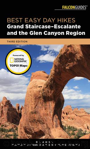
Best Easy Day Hikes Grand Staircase-Escalante and the Glen Canyon Region by Tanner Jd

Author:Tanner Jd
Language: eng
Format: epub
ISBN: 9781493028863
Publisher: Falcon Guides
Published: 2017-03-14T04:00:00+00:00
Miles and Directions
0.0 Follow the trail from the picnic site, crossing a small stream and proceeding upcanyon (above the wash on the right).
1.0 Reach the pool and pour-off. Turn around and retrace your steps.
2.0 Arrive back at the trailhead.
The Escalante Canyons
The Escalante canyons are the premier hiking destination in the Glen Canyon region, and the reason can probably be summed up in one word: slickrock. From broad washes in the Circle Cliffs basin and on the Straight Cliffs/Hole-in-the-Rock terrace and mountain streams high on the flanks of Boulder Mountain, the canyons of the Escalante River drainage quickly develop into a network of slickrock gorges that are the veins feeding the artery of the river. Although the Escalante River courses some 80 miles through a wilderness canyon of incomparable beauty, travel down its gorge is often brutal, a test of endurance for even the most experienced canyoneer. Its tributary canyons are equally attractive and are the primary destinations of most hikers visiting the region.
Navajo Sandstone is the predominant rock formation in the Escalante canyons, and erosion has exhumed these ancient sand dunes and sculpted the resistant cross-bedded slickrock into a vast landscape of domes incised with innumerable serpentine canyons. Nowhere else in the canyon country of the Colorado Plateau is there such an immense expanse of slickrock. The unique landscape, reliable water in many canyons, and hiking routes that traverse the spectrum of difficulty combine to make the Escalante region an increasingly popular alternative destination to the national parks of Utah.
The unique beauty of the Escalante region was recognized as early as 1866, yet the area somehow escaped achieving national-park status in the ensuing years. After the floodgates closed on Glen Canyon Dam in 1963, the lower Escalante canyons were lost beneath the waters of Lake Powell. In 1972 these canyons were included within the boundaries of Glen Canyon National Recreation Area, managed under the direction of the National Park Service. With the establishment of the 1.7-million-acre Grand Staircase–Escalante National Monument in 1996 and the limited protection that designation provides, all of the Escalante canyons are at last held in trust for the benefit and enjoyment of future generations.
Typical of the canyon country of southern Utah, there are few established trails in the Escalante canyons. Most hikes follow the corridors of washes or cross open expanses of slickrock. The exception is the trail to Lower Calf Creek Falls, one of the few constructed and maintained trails in the Glen Canyon region.
There aren’t many easy hikes in the Escalante region, yet the few that qualify as best easy day hikes are outstanding. Active waterfalls, arches, narrow canyons, riparian oases, and sculpted slickrock are among the attractions of the Escalante’s easy day hikes.
Camping
The two public campgrounds in Grand Staircase–Escalante National Monument are located in the Escalante region. The seven-unit Deer Creek Campground, located on Burr Trail Road 6.2 miles southeast of UT 12 and Boulder, is open year-round and is available for a fee on a first-come, first-served basis. Set among willows and
Download
This site does not store any files on its server. We only index and link to content provided by other sites. Please contact the content providers to delete copyright contents if any and email us, we'll remove relevant links or contents immediately.
In a Sunburned Country by Bill Bryson(2948)
Annapurna by Maurice Herzog(2841)
How to Read Nature by Tristan Gooley(2666)
Dangerous Girls by Haas Abigail(2472)
The Lost Art of Reading Nature's Signs by Tristan Gooley(2284)
SAS Survival Handbook by John 'Lofty' Wiseman(2260)
In the Woods by Tana French(1997)
Food and Water in an Emergency by Food & Water In An Emergency(1993)
The Stranger in the Woods by Michael Finkel(1924)
Guns, Germs and Steel by Diamond Jared(1885)
Everest the Cruel Way by Joe Tasker(1827)
Backpacker the Complete Guide to Backpacking by Backpacker Magazine(1815)
Sea Survival Handbook by Keith Colwell(1796)
Ultimate Navigation Manual by Lyle Brotherton(1768)
Trail Magic by Trevelyan Quest Edwards & Hazel Edwards(1760)
Wild: From Lost to Found on the Pacific Crest Trail by Cheryl Strayed(1738)
Birds of the Pacific Northwest by Shewey John; Blount Tim;(1604)
Welcome to the Goddamn Ice Cube by Blair Braverman(1601)
Portland: Including the Coast, Mounts Hood and St. Helens, and the Santiam River by Paul Gerald(1582)
