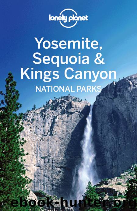
Yosemite, Sequoia & Kings Canyon National Parks Guide by Lonely Planet

Author:Lonely Planet
Language: eng
Format: epub
Publisher: Lonely Planet
WEST OF YOSEMITE
The two most important arteries into Yosemite – Hwy 140 and Hwy 120 – lie to the west. Aside from offering easy access to the national park, the highways are home to some marvelous little historic towns resting along their dusty shoulders.
Highway 140
The approach to Yosemite via Hwy 140, which parallels the bed of the long-defunct Yosemite Valley Railroad, is one of the most scenic, especially the section that meanders through Merced River Canyon. The springtime runoff makes this a spectacular spot for river rafting , with many miles of class III and IV rapids. See Click here for a list of outfitters.
A major transportation hub, Merced is the end of the line for Amtrak train and Greyhound bus passengers. From here, passengers can take the Yosemite Area Regional Transportation System (YARTS) bus along Hwy 140 into the park, making this route the easiest option for travelers without cars.
A 2006 rockslide buried a section of the road about 8 miles west of El Portal, and the continuing one-way traffic controls bypassing it will give you a few extra minutes to admire the scenery.
Download
This site does not store any files on its server. We only index and link to content provided by other sites. Please contact the content providers to delete copyright contents if any and email us, we'll remove relevant links or contents immediately.
| General | Death Valley |
| Los Angeles | Monterey |
| Mount Shasta | Sacramento |
| San Diego | San Francisco |
| San Jose | Santa Barbara |
| Sequoia | Yosemite |
Giovanni's Room by James Baldwin(5878)
The Plant Paradox by Dr. Steven R. Gundry M.D(2040)
The Stranger in the Woods by Michael Finkel(1924)
Miami by Joan Didion(1882)
DK Eyewitness Top 10 Travel Guides Orlando by DK(1814)
Vacationland by John Hodgman(1776)
Trail Magic by Trevelyan Quest Edwards & Hazel Edwards(1760)
Wild: From Lost to Found on the Pacific Crest Trail by Cheryl Strayed(1736)
INTO THE WILD by Jon Krakauer(1724)
The Twilight Saga Collection by Stephenie Meyer(1720)
Nomadland by Jessica Bruder(1684)
Birds of the Pacific Northwest by Shewey John; Blount Tim;(1604)
Portland: Including the Coast, Mounts Hood and St. Helens, and the Santiam River by Paul Gerald(1581)
The Last Flight by Julie Clark(1492)
On Trails by Robert Moor(1477)
Deep South by Paul Theroux(1475)
Trees and Shrubs of the Pacific Northwest by Mark Turner(1426)
Blue Highways by William Least Heat-Moon(1377)
1,000 Places to See in the United States and Canada Before You Die (1,000 Places to See in the United States & Canada Before You) by Patricia Schultz(1294)
